Cottages, Torre
Introduction
The photograph on this page of Cottages, Torre by Derek Harper as part of the Geograph project.
The Geograph project started in 2005 with the aim of publishing, organising and preserving representative images for every square kilometre of Great Britain, Ireland and the Isle of Man.

There are currently over 7.5m images from over 14,400 individuals and you can help contribute to the project by visiting https://www.geograph.org.uk
Cottages, Torre
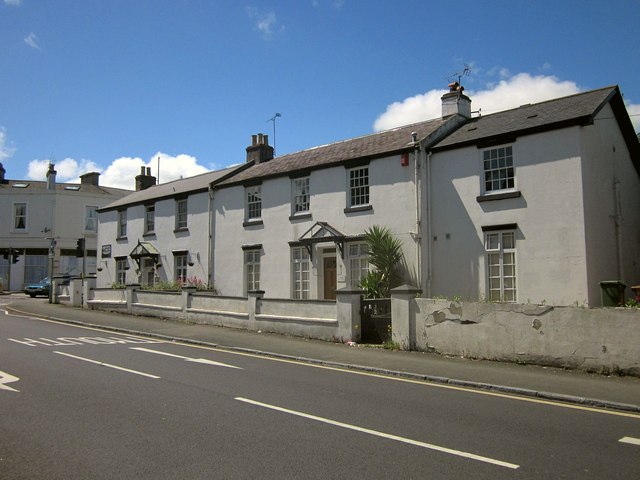
Image: © Derek Harper Taken: 2 Jun 2014
A pair of cottages dating from the late 1830s or early 1840s and described at http://list.english-heritage.org.uk/resultsingle.aspx?uid=1280075&searchtype=mapsearch (the left, then a Chinese restaurant, now a tea room - see also Image), and http://list.english-heritage.org.uk/resultsingle.aspx?uid=1208227&searchtype=mapsearch . The road is part of Brunwick Square, itself part of a one-way system around Torre.
Images are licensed for reuse under creativecommons.org/licenses/by-sa/2.0
Image Location
Latitude
50.471299
Longitude
-3.53959