The Grange, Main Street
Introduction
The photograph on this page of The Grange, Main Street by Alan Murray-Rust as part of the Geograph project.
The Geograph project started in 2005 with the aim of publishing, organising and preserving representative images for every square kilometre of Great Britain, Ireland and the Isle of Man.

There are currently over 7.5m images from over 14,400 individuals and you can help contribute to the project by visiting https://www.geograph.org.uk
The Grange, Main Street
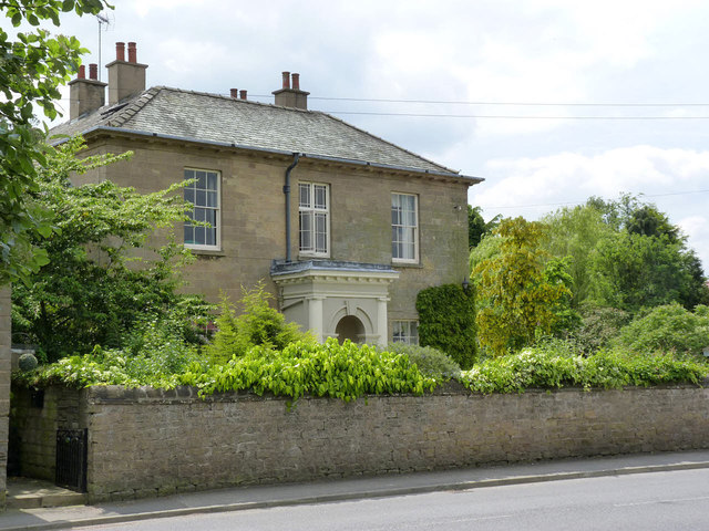
Image: © Alan Murray-Rust Taken: 1 Jun 2014
Early 19th century farmhouse in ashlar, suggesting that this was one of the more prosperous local farms. The porch is later. Listed Grade II.
Images are licensed for reuse under creativecommons.org/licenses/by-sa/2.0
Image Location
Latitude
53.101569
Longitude
-1.030635