Inverted bench mark, Blidworth churchyard wall
Introduction
The photograph on this page of Inverted bench mark, Blidworth churchyard wall by Alan Murray-Rust as part of the Geograph project.
The Geograph project started in 2005 with the aim of publishing, organising and preserving representative images for every square kilometre of Great Britain, Ireland and the Isle of Man.

There are currently over 7.5m images from over 14,400 individuals and you can help contribute to the project by visiting https://www.geograph.org.uk
Inverted bench mark, Blidworth churchyard wall
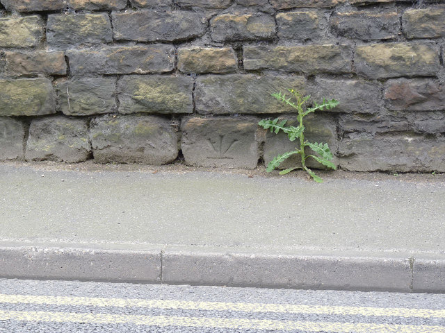
Image: © Alan Murray-Rust Taken: 1 Jun 2014
Inversion of a bench mark can mean that it has been taken off the list, but this one is specifically noted as inverted. Whether it was created like this, or the stone became inverted during reconstruction of the wall and was re-levelled is indeterminable. See http://www.geograph.org.uk/photo/4015744 for location.
Images are licensed for reuse under creativecommons.org/licenses/by-sa/2.0
Image Location
Latitude
53.094675
Longitude
-1.127261