A75 (T) by Moss Nae
Introduction
The photograph on this page of A75 (T) by Moss Nae by Andy Farrington as part of the Geograph project.
The Geograph project started in 2005 with the aim of publishing, organising and preserving representative images for every square kilometre of Great Britain, Ireland and the Isle of Man.

There are currently over 7.5m images from over 14,400 individuals and you can help contribute to the project by visiting https://www.geograph.org.uk
A75 (T) by Moss Nae
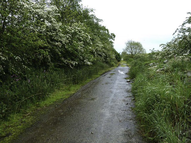
Image: © Andy Farrington Taken: 4 Jun 2014
This picture shows the former A75 (T) road by Moss Nae used before rebuild of the main road. It is evident on the OS Wigtownshire Mapping of 1995 and some of the road markings are still in place. Now, no more than an access track, the direction of view is towards Dumfries with the new A75 just to the left over the hedge row.
Images are licensed for reuse under creativecommons.org/licenses/by-sa/2.0
Image Location
Latitude
54.858812
Longitude
-4.116032