Churchways Avenue, Horfield, Bristol
Introduction
The photograph on this page of Churchways Avenue, Horfield, Bristol by Jaggery as part of the Geograph project.
The Geograph project started in 2005 with the aim of publishing, organising and preserving representative images for every square kilometre of Great Britain, Ireland and the Isle of Man.

There are currently over 7.5m images from over 14,400 individuals and you can help contribute to the project by visiting https://www.geograph.org.uk
Churchways Avenue, Horfield, Bristol
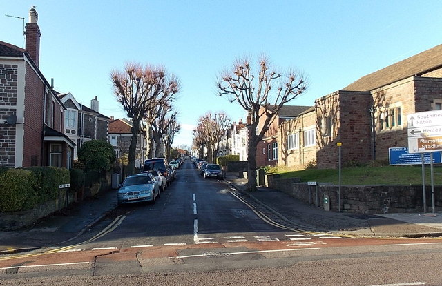
Image: © Jaggery Taken: 29 Dec 2013
Viewed across Gloucester Road past Horfield Methodist Church http://www.geograph.org.uk/photo/4015442 on the right. A sign on the right points along Churchways Avenue towards the Henleaze area of Bristol.
Images are licensed for reuse under creativecommons.org/licenses/by-sa/2.0
Image Location
Latitude
51.487051
Longitude
-2.588566