Pontyclun Methodist Church
Introduction
The photograph on this page of Pontyclun Methodist Church by Jaggery as part of the Geograph project.
The Geograph project started in 2005 with the aim of publishing, organising and preserving representative images for every square kilometre of Great Britain, Ireland and the Isle of Man.

There are currently over 7.5m images from over 14,400 individuals and you can help contribute to the project by visiting https://www.geograph.org.uk
Pontyclun Methodist Church
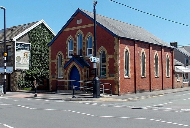
Image: © Jaggery Taken: 5 Jun 2014
On the corner of Cowbridge Road and Palalwyf Avenue in Pontyclun. Though the nameboard was on the building in early June 2014, the church did not appear in any of several websites which give details of places of worship. I do not know whether that indicates that the church is closed or that the websites are incomplete.
Images are licensed for reuse under creativecommons.org/licenses/by-sa/2.0
Image Location
Latitude
51.522076
Longitude
-3.392145