Fire Station
Introduction
The photograph on this page of Fire Station by Anne Burgess as part of the Geograph project.
The Geograph project started in 2005 with the aim of publishing, organising and preserving representative images for every square kilometre of Great Britain, Ireland and the Isle of Man.

There are currently over 7.5m images from over 14,400 individuals and you can help contribute to the project by visiting https://www.geograph.org.uk
Fire Station
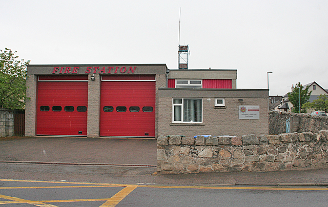
Image: © Anne Burgess Taken: 3 Jun 2014
The map shows the fire station a little further west, but it's here, not there!
Images are licensed for reuse under creativecommons.org/licenses/by-sa/2.0
Image Location
Latitude
57.329922
Longitude
-3.606421