Moor Pond dam and sluice
Introduction
The photograph on this page of Moor Pond dam and sluice by Alan Murray-Rust as part of the Geograph project.
The Geograph project started in 2005 with the aim of publishing, organising and preserving representative images for every square kilometre of Great Britain, Ireland and the Isle of Man.

There are currently over 7.5m images from over 14,400 individuals and you can help contribute to the project by visiting https://www.geograph.org.uk
Moor Pond dam and sluice
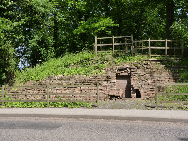
Image: © Alan Murray-Rust Taken: 1 Jun 2014
Part of the water control system for the mills along the River Leen. Excavated and conserved in 2007.
Images are licensed for reuse under creativecommons.org/licenses/by-sa/2.0
Image Location
Latitude
53.048779
Longitude
-1.183533