Reservoirs by Bottom Lane
Introduction
The photograph on this page of Reservoirs by Bottom Lane by Robin Webster as part of the Geograph project.
The Geograph project started in 2005 with the aim of publishing, organising and preserving representative images for every square kilometre of Great Britain, Ireland and the Isle of Man.

There are currently over 7.5m images from over 14,400 individuals and you can help contribute to the project by visiting https://www.geograph.org.uk
Reservoirs by Bottom Lane
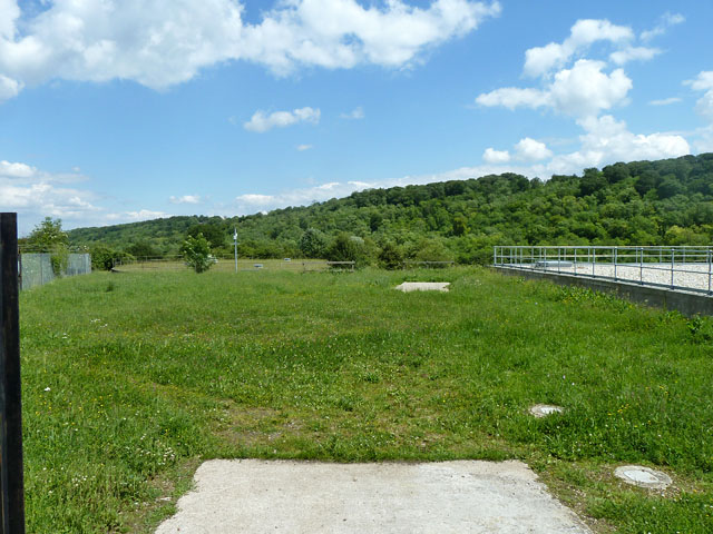
Image: © Robin Webster Taken: 5 Jun 2014
A large area well screened from the lane, with older parts of the Thames Water installation ahead and out of sight to the left, and a newer or refurbished part on the right. According to a sign on the gate, the newer part may be the Dancers End WTW AMP5 Project.
Images are licensed for reuse under creativecommons.org/licenses/by-sa/2.0
Image Location
Latitude
51.773075
Longitude
-0.688751