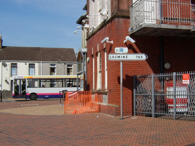
Poteau indicateur ? Pontardawe
Introduction
The photograph on this page of Poteau indicateur ? Pontardawe by Kevin Flynn as part of the Geograph project.
The Geograph project started in 2005 with the aim of publishing, organising and preserving representative images for every square kilometre of Great Britain, Ireland and the Isle of Man.
There are currently over 7.5m images from over 14,400 individuals and you can help contribute to the project by visiting https://www.geograph.org.uk

Image: © Kevin Flynn Taken: 4 Apr 2007
This French signpost outside the Arts Centre in Herbert Street points the way to Pontardawe's twin town, Locminé in Brittany (via Brecon? -- although periodically adjusted by vandals the signpost is usually turned this way). The indicated distance of 765 km seems a little exaggerated, though, as the route (via Plymouth and Roscoff) totals about 650 km according to Michelin.
Image Location


