The Wirral Way at Lower Heswall
Introduction
The photograph on this page of The Wirral Way at Lower Heswall by Oliver Dixon as part of the Geograph project.
The Geograph project started in 2005 with the aim of publishing, organising and preserving representative images for every square kilometre of Great Britain, Ireland and the Isle of Man.

There are currently over 7.5m images from over 14,400 individuals and you can help contribute to the project by visiting https://www.geograph.org.uk
The Wirral Way at Lower Heswall
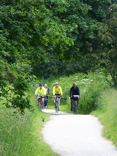
Image: © Oliver Dixon Taken: 4 Jun 2014
The railway from Hooton to West Kirby, a branch of the Birkenhead Railway was opened in 1886, closed in 1962. In 1973, the whole length of the old railway was designated as the "Wirral Way", part of the Wirral Country Park, a traffic-free route for walkers. Use of the path was subsequently extended to cyclists and horse-riders. This section of the Wirral Way is designated National Route 568 of the National Cycle Network and follows the eastern shore of the Dee Estuary from Leasowe to Chester.
Images are licensed for reuse under creativecommons.org/licenses/by-sa/2.0
Image Location


Leaflet Map data © OpenStreetMap
Latitude
53.317861
Longitude
-3.102077