A59 and valley near Blubberhouses
Introduction
The photograph on this page of A59 and valley near Blubberhouses by liz dawson as part of the Geograph project.
The Geograph project started in 2005 with the aim of publishing, organising and preserving representative images for every square kilometre of Great Britain, Ireland and the Isle of Man.

There are currently over 7.5m images from over 14,400 individuals and you can help contribute to the project by visiting https://www.geograph.org.uk
A59 and valley near Blubberhouses
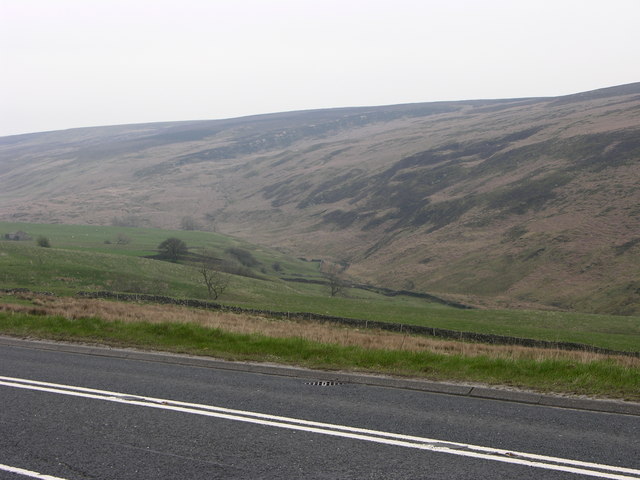
Image: © liz dawson Taken: 13 Apr 2007
Looking across the A59 to the valley of Kex Gill with the low crags of High Combs beyond.
Images are licensed for reuse under creativecommons.org/licenses/by-sa/2.0
Image Location


Leaflet Map data © OpenStreetMap
Latitude
53.983753
Longitude
-1.844422