Houses at Sheepwash
Introduction
The photograph on this page of Houses at Sheepwash by Derek Harper as part of the Geograph project.
The Geograph project started in 2005 with the aim of publishing, organising and preserving representative images for every square kilometre of Great Britain, Ireland and the Isle of Man.

There are currently over 7.5m images from over 14,400 individuals and you can help contribute to the project by visiting https://www.geograph.org.uk
Houses at Sheepwash
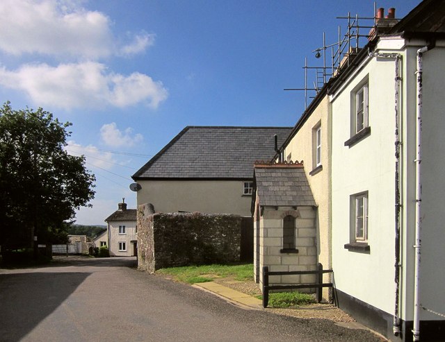
Image: © Derek Harper Taken: 31 May 2014
The top of West Road, just round the corner from The Square. I think the house on the right must be the one described as adjoining Pound House at http://list.english-heritage.org.uk/resultsingle.aspx?uid=1162749&searchtype=mapsearch , with "gabled porch with cusped bargeboards and decorative ridge tiles".
Images are licensed for reuse under creativecommons.org/licenses/by-sa/2.0
Image Location
Latitude
50.836555
Longitude
-4.15135