Cornworthy Cross
Introduction
The photograph on this page of Cornworthy Cross by Robin Stott as part of the Geograph project.
The Geograph project started in 2005 with the aim of publishing, organising and preserving representative images for every square kilometre of Great Britain, Ireland and the Isle of Man.

There are currently over 7.5m images from over 14,400 individuals and you can help contribute to the project by visiting https://www.geograph.org.uk
Cornworthy Cross
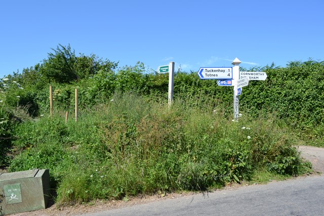
Image: © Robin Stott Taken: 5 Jul 2013
A T-junction now but at one time this was a crossroads. The fourth road is today an unmetalled county road, announced by the green sign, north to Tuckenhay.
Images are licensed for reuse under creativecommons.org/licenses/by-sa/2.0
Image Location
Latitude
50.38887
Longitude
-3.660574