Lane to Libbear
Introduction
The photograph on this page of Lane to Libbear by Derek Harper as part of the Geograph project.
The Geograph project started in 2005 with the aim of publishing, organising and preserving representative images for every square kilometre of Great Britain, Ireland and the Isle of Man.

There are currently over 7.5m images from over 14,400 individuals and you can help contribute to the project by visiting https://www.geograph.org.uk
Lane to Libbear
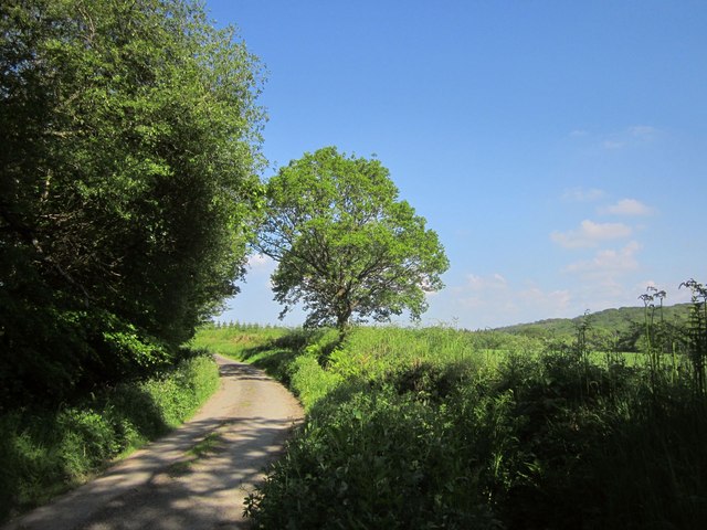
Image: © Derek Harper Taken: 31 May 2014
NCN3 follows this quiet lane along the north side of the Torridge valley. Across the valley is Highweek Wood. Image] looks right from this spot.
Images are licensed for reuse under creativecommons.org/licenses/by-sa/2.0
Image Location
Latitude
50.838894
Longitude
-4.213812