Torridge valley
Introduction
The photograph on this page of Torridge valley by Derek Harper as part of the Geograph project.
The Geograph project started in 2005 with the aim of publishing, organising and preserving representative images for every square kilometre of Great Britain, Ireland and the Isle of Man.

There are currently over 7.5m images from over 14,400 individuals and you can help contribute to the project by visiting https://www.geograph.org.uk
Torridge valley
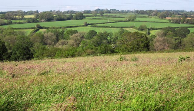
Image: © Derek Harper Taken: 31 May 2014
A detail of the scene in Image], looking across what appears to be the wooded valley, although trees are mostly confined to field boundaries or the riverside. The arable land beyond is in Image
Images are licensed for reuse under creativecommons.org/licenses/by-sa/2.0
Image Location
Latitude
50.837711
Longitude
-4.223982