Walkers and a bus shelter, Dogpole, Shrewsbury
Introduction
The photograph on this page of Walkers and a bus shelter, Dogpole, Shrewsbury by Jaggery as part of the Geograph project.
The Geograph project started in 2005 with the aim of publishing, organising and preserving representative images for every square kilometre of Great Britain, Ireland and the Isle of Man.

There are currently over 7.5m images from over 14,400 individuals and you can help contribute to the project by visiting https://www.geograph.org.uk
Walkers and a bus shelter, Dogpole, Shrewsbury
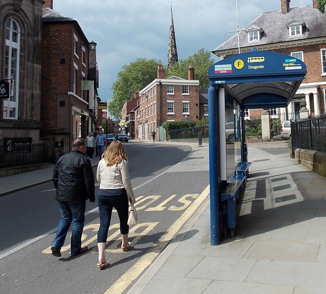
Image: © Jaggery Taken: 31 May 2014
It occurred to me when I saw this photo that the walkers are in the road because a person with a camera is unwittingly blocking the pavement... The destinations on the shelter (Harlescott, Meole Brace and Oxon) are districts of Shrewsbury. One reference states that origin of the unusual street name Dogpole is obscure and there are no plausible explanations. This didn't deter another source which claims that Dogpole was originally Duckhole, so named because part of the old inner town wall ran across this street. There was a small gate that people had to duck to get through. Hmm....
Images are licensed for reuse under creativecommons.org/licenses/by-sa/2.0
Image Location
Latitude
52.707244
Longitude
-2.751087