Waterlogged meadow beside the Gate House
Introduction
The photograph on this page of Waterlogged meadow beside the Gate House by John Baker as part of the Geograph project.
The Geograph project started in 2005 with the aim of publishing, organising and preserving representative images for every square kilometre of Great Britain, Ireland and the Isle of Man.

There are currently over 7.5m images from over 14,400 individuals and you can help contribute to the project by visiting https://www.geograph.org.uk
Waterlogged meadow beside the Gate House
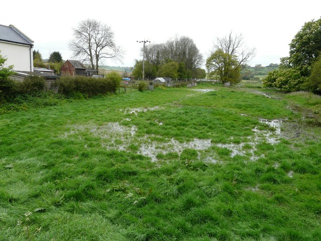
Image: © John Baker Taken: 27 Apr 2014
The extensive flooding seen in Image has disappeared but one would need waders to use the footpath that runs through this meadow.
Images are licensed for reuse under creativecommons.org/licenses/by-sa/2.0
Image Location
Latitude
51.159895
Longitude
1.120204