Macduff on the Moray Coast
Introduction
The photograph on this page of Macduff on the Moray Coast by Walter Baxter as part of the Geograph project.
The Geograph project started in 2005 with the aim of publishing, organising and preserving representative images for every square kilometre of Great Britain, Ireland and the Isle of Man.

There are currently over 7.5m images from over 14,400 individuals and you can help contribute to the project by visiting https://www.geograph.org.uk
Macduff on the Moray Coast
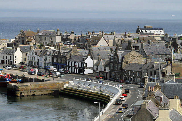
Image: © Walter Baxter Taken: 21 May 2014
This view of Shore Street and Crook O’ Ness Street was taken from the high vantage point of Church Street.
Images are licensed for reuse under creativecommons.org/licenses/by-sa/2.0
Image Location
Latitude
57.669934
Longitude
-2.498029