Park Wood
Introduction
The photograph on this page of Park Wood by Penny Mayes as part of the Geograph project.
The Geograph project started in 2005 with the aim of publishing, organising and preserving representative images for every square kilometre of Great Britain, Ireland and the Isle of Man.

There are currently over 7.5m images from over 14,400 individuals and you can help contribute to the project by visiting https://www.geograph.org.uk
Park Wood
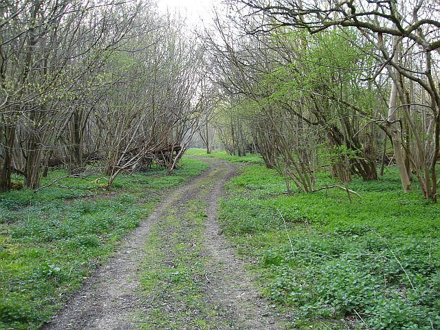
Image: © Penny Mayes Taken: 14 Apr 2007
Access woodland managed by the Woodland Trust. The A252 Charing to Canterbury road swoops through here - a lay-by for visitors to the woodland would be a good plan.
Images are licensed for reuse under creativecommons.org/licenses/by-sa/2.0
Image Location


Leaflet Map data © OpenStreetMap
Latitude
51.235754
Longitude
0.927613