A372 north of Court House
Introduction
The photograph on this page of A372 north of Court House by Stuart Logan as part of the Geograph project.
The Geograph project started in 2005 with the aim of publishing, organising and preserving representative images for every square kilometre of Great Britain, Ireland and the Isle of Man.

There are currently over 7.5m images from over 14,400 individuals and you can help contribute to the project by visiting https://www.geograph.org.uk
A372 north of Court House
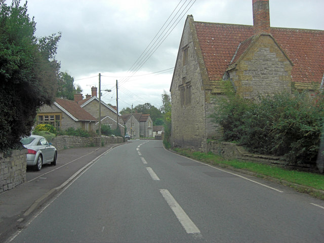
Image: © Stuart Logan Taken: 9 Oct 2013
The Grade II house can be seen beside the road and dates from the 14th C. It has English Heritage Building ID: 263243. See also: http://www.britishlistedbuildings.co.uk/en-263243-court-house-long-sutton-somerset
Images are licensed for reuse under creativecommons.org/licenses/by-sa/2.0
Image Location
Latitude
51.030876
Longitude
-2.762021