Towards Stewdon Farm
Introduction
The photograph on this page of Towards Stewdon Farm by Derek Harper as part of the Geograph project.
The Geograph project started in 2005 with the aim of publishing, organising and preserving representative images for every square kilometre of Great Britain, Ireland and the Isle of Man.

There are currently over 7.5m images from over 14,400 individuals and you can help contribute to the project by visiting https://www.geograph.org.uk
Towards Stewdon Farm
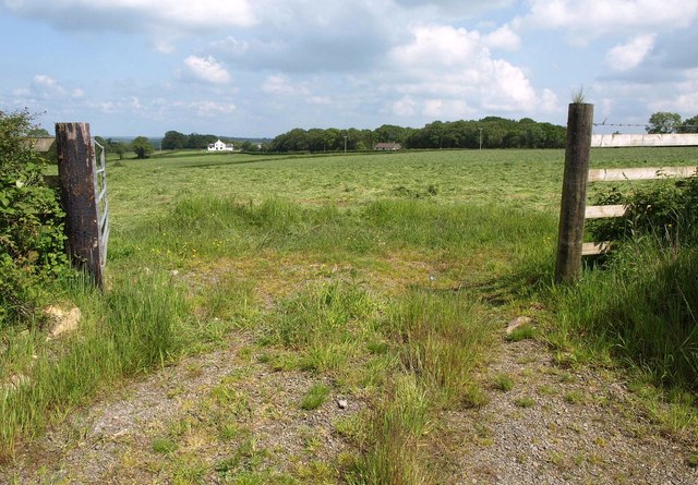
Image: © Derek Harper Taken: 31 May 2014
From the road between Highampton and Northlew. The farmhouse on the left is in Image, while Ringwood, against the trees, is in this square.
Images are licensed for reuse under creativecommons.org/licenses/by-sa/2.0
Image Location


Leaflet Map data © OpenStreetMap
Latitude
50.806644
Longitude
-4.149265