Nether Street, Finchley
Introduction
The photograph on this page of Nether Street, Finchley by David Howard as part of the Geograph project.
The Geograph project started in 2005 with the aim of publishing, organising and preserving representative images for every square kilometre of Great Britain, Ireland and the Isle of Man.

There are currently over 7.5m images from over 14,400 individuals and you can help contribute to the project by visiting https://www.geograph.org.uk
Nether Street, Finchley
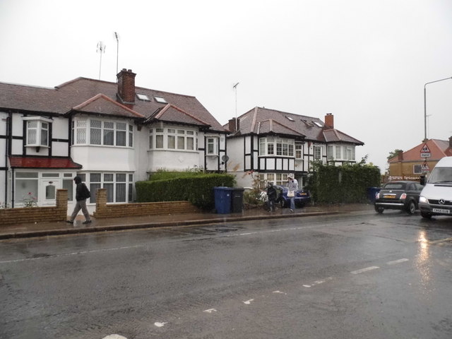
Image: © David Howard Taken: 3 Jun 2014
The station on the right of here is called West Finchley but that would have been more likely to be around what is now called Church End around Hendon Lane.
Images are licensed for reuse under creativecommons.org/licenses/by-sa/2.0
Image Location
Latitude
51.608471
Longitude
-0.190638