Warmington hill
Introduction
The photograph on this page of Warmington hill by David Stowell as part of the Geograph project.
The Geograph project started in 2005 with the aim of publishing, organising and preserving representative images for every square kilometre of Great Britain, Ireland and the Isle of Man.

There are currently over 7.5m images from over 14,400 individuals and you can help contribute to the project by visiting https://www.geograph.org.uk
Warmington hill
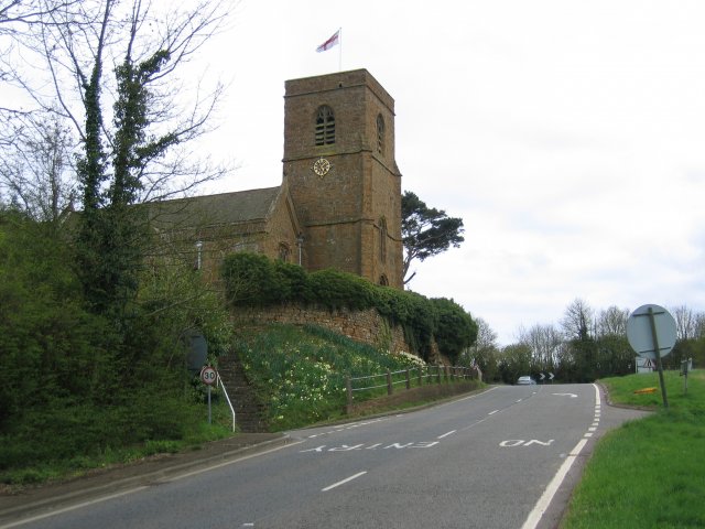
Image: © David Stowell Taken: 16 Apr 2005
Warmington hill was once notorious on the Warwick to Banbury road until the nearby M40 was opened. The graveyard of the church of St Michael seen in the picture has many graves for the victims of the nearby battle of Edge Hill in 1642.
Images are licensed for reuse under creativecommons.org/licenses/by-sa/2.0
Image Location


Leaflet Map data © OpenStreetMap
Latitude
52.124305
Longitude
-1.404003