Glenhills Way, Leicester
Introduction
The photograph on this page of Glenhills Way, Leicester by Mat Fascione as part of the Geograph project.
The Geograph project started in 2005 with the aim of publishing, organising and preserving representative images for every square kilometre of Great Britain, Ireland and the Isle of Man.

There are currently over 7.5m images from over 14,400 individuals and you can help contribute to the project by visiting https://www.geograph.org.uk
Glenhills Way, Leicester
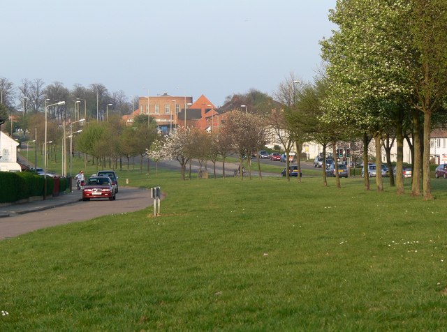
Image: © Mat Fascione Taken: 14 Apr 2007
The circular building is the Southfields Library or more commonly known as the Pork Pie Library.
Images are licensed for reuse under creativecommons.org/licenses/by-sa/2.0
Image Location
Latitude
52.595612
Longitude
-1.145624