Former Half Moon Public House
Introduction
The photograph on this page of Former Half Moon Public House by Anthony Vosper as part of the Geograph project.
The Geograph project started in 2005 with the aim of publishing, organising and preserving representative images for every square kilometre of Great Britain, Ireland and the Isle of Man.

There are currently over 7.5m images from over 14,400 individuals and you can help contribute to the project by visiting https://www.geograph.org.uk
Former Half Moon Public House
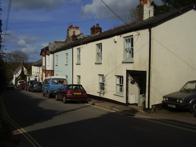
Image: © Anthony Vosper Taken: 8 Apr 2014
North Street Ottery St Mary. Now a private home. The only reminder of its previous life is a leaded window at the front.
Images are licensed for reuse under creativecommons.org/licenses/by-sa/2.0
Image Location
Latitude
50.754528
Longitude
-3.276952