Footpath, Coldharbour
Introduction
The photograph on this page of Footpath, Coldharbour by Christopher Hall as part of the Geograph project.
The Geograph project started in 2005 with the aim of publishing, organising and preserving representative images for every square kilometre of Great Britain, Ireland and the Isle of Man.

There are currently over 7.5m images from over 14,400 individuals and you can help contribute to the project by visiting https://www.geograph.org.uk
Footpath, Coldharbour
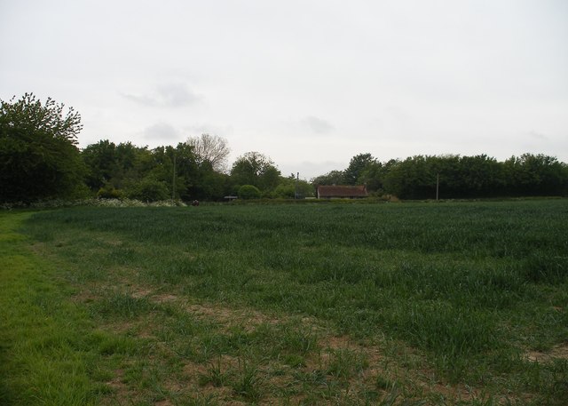
Image: © Christopher Hall Taken: 21 May 2014
The footpath leaves Rectory Lane, shown in Image near the buildings, which are Coldharbour.
Images are licensed for reuse under creativecommons.org/licenses/by-sa/2.0
Image Location
Latitude
50.9763
Longitude
0.709946