A283 Near Pulborough
Introduction
The photograph on this page of A283 Near Pulborough by Peter Trimming as part of the Geograph project.
The Geograph project started in 2005 with the aim of publishing, organising and preserving representative images for every square kilometre of Great Britain, Ireland and the Isle of Man.

There are currently over 7.5m images from over 14,400 individuals and you can help contribute to the project by visiting https://www.geograph.org.uk
A283 Near Pulborough
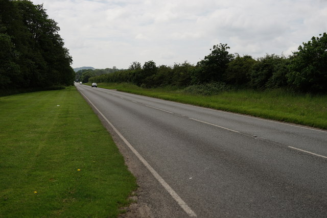
Image: © Peter Trimming Taken: 2 Jun 2014
Looking away from Pulborough, and close to the Pulborough Brooks nature reserve.
Images are licensed for reuse under creativecommons.org/licenses/by-sa/2.0
Image Location
Latitude
50.9499
Longitude
-0.485546