A30 to Penzance
Introduction
The photograph on this page of A30 to Penzance by Robin Webster as part of the Geograph project.
The Geograph project started in 2005 with the aim of publishing, organising and preserving representative images for every square kilometre of Great Britain, Ireland and the Isle of Man.

There are currently over 7.5m images from over 14,400 individuals and you can help contribute to the project by visiting https://www.geograph.org.uk
A30 to Penzance
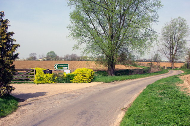
Image: © Robin Webster Taken: 14 Apr 2007
It is little known that the A30 to Cornwall starts at High Easter, Essex, and initially forms the drive to Trotter's Farm.
Images are licensed for reuse under creativecommons.org/licenses/by-sa/2.0
Image Location


Leaflet Map data © OpenStreetMap
Latitude
51.808662
Longitude
0.342651