Shuttered building, Matchborough Way, Redditch
Introduction
The photograph on this page of Shuttered building, Matchborough Way, Redditch by Robin Stott as part of the Geograph project.
The Geograph project started in 2005 with the aim of publishing, organising and preserving representative images for every square kilometre of Great Britain, Ireland and the Isle of Man.

There are currently over 7.5m images from over 14,400 individuals and you can help contribute to the project by visiting https://www.geograph.org.uk
Shuttered building, Matchborough Way, Redditch
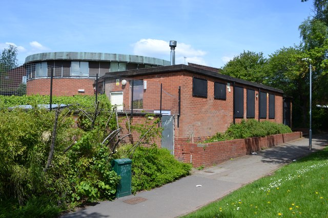
Image: © Robin Stott Taken: 25 May 2013
This heavily defended building, with the high-ceilinged oval space at its heart, is believed to be a family reconciliation centre.
Images are licensed for reuse under creativecommons.org/licenses/by-sa/2.0
Image Location
Latitude
52.295504
Longitude
-1.897315