Bourton-On-Dunsmore
Introduction
The photograph on this page of Bourton-On-Dunsmore by Ian Rob as part of the Geograph project.
The Geograph project started in 2005 with the aim of publishing, organising and preserving representative images for every square kilometre of Great Britain, Ireland and the Isle of Man.

There are currently over 7.5m images from over 14,400 individuals and you can help contribute to the project by visiting https://www.geograph.org.uk
Bourton-On-Dunsmore
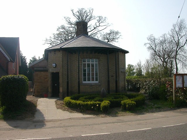
Image: © Ian Rob Taken: 14 Apr 2007
Bourton and Frankton Village Hall. A large extension has recently been added to the rear of the original building.
Images are licensed for reuse under creativecommons.org/licenses/by-sa/2.0
Image Location
Latitude
52.33178
Longitude
-1.364532