Development land
Introduction
The photograph on this page of Development land by Philip Halling as part of the Geograph project.
The Geograph project started in 2005 with the aim of publishing, organising and preserving representative images for every square kilometre of Great Britain, Ireland and the Isle of Man.

There are currently over 7.5m images from over 14,400 individuals and you can help contribute to the project by visiting https://www.geograph.org.uk
Development land
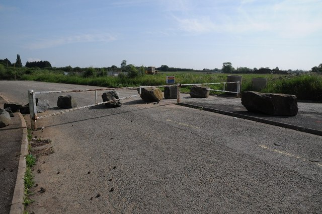
Image: © Philip Halling Taken: 1 Jun 2014
Land off a roundabout on Wyre Road to development land on Pershore Trading Estate.
Images are licensed for reuse under creativecommons.org/licenses/by-sa/2.0
Image Location
Latitude
52.12723
Longitude
-2.065396