Calewood Road Quarry Bank
Introduction
The photograph on this page of Calewood Road Quarry Bank by Craig Lees as part of the Geograph project.
The Geograph project started in 2005 with the aim of publishing, organising and preserving representative images for every square kilometre of Great Britain, Ireland and the Isle of Man.

There are currently over 7.5m images from over 14,400 individuals and you can help contribute to the project by visiting https://www.geograph.org.uk
Calewood Road Quarry Bank
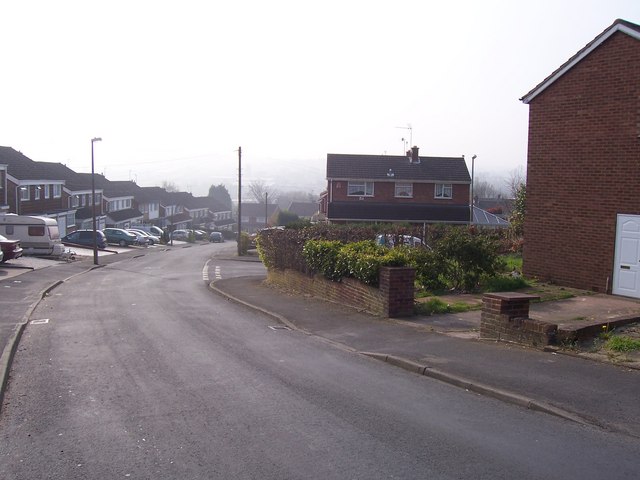
Image: © Craig Lees Taken: 14 Apr 2007
Facing south down Calewood Road and its junction with Calcott Drive. 1960's housing showing semidetached and detached houses. The detached house facing forward is actually my Mum and Dad's house. I lived there from 1986 to 1988. On a clear day there are great views of Wychbury hill in the distance.
Images are licensed for reuse under creativecommons.org/licenses/by-sa/2.0
Image Location
Latitude
52.465758
Longitude
-2.12198