The Cochno Burn
Introduction
The photograph on this page of The Cochno Burn by Lairich Rig as part of the Geograph project.
The Geograph project started in 2005 with the aim of publishing, organising and preserving representative images for every square kilometre of Great Britain, Ireland and the Isle of Man.

There are currently over 7.5m images from over 14,400 individuals and you can help contribute to the project by visiting https://www.geograph.org.uk
The Cochno Burn
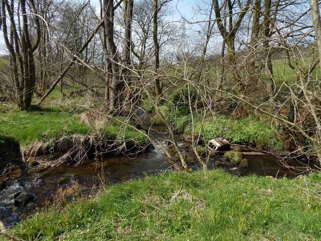
Image: © Lairich Rig Taken: 21 Apr 2014
The Cochno Burn flows in at the right, and out on the left. It is joined here by another burn, which is unnamed on the map, but which originates in an area to the north of this spot. For more context, see Image, taken from high on a neighbouring slope.
Images are licensed for reuse under creativecommons.org/licenses/by-sa/2.0
Image Location
Latitude
55.931339
Longitude
-4.403879