East end of footpath to West Meon
Introduction
The photograph on this page of East end of footpath to West Meon by Shazz as part of the Geograph project.
The Geograph project started in 2005 with the aim of publishing, organising and preserving representative images for every square kilometre of Great Britain, Ireland and the Isle of Man.

There are currently over 7.5m images from over 14,400 individuals and you can help contribute to the project by visiting https://www.geograph.org.uk
East end of footpath to West Meon
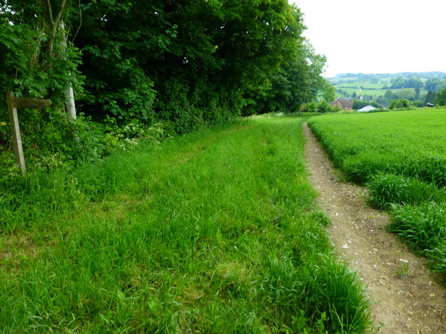
Image: © Shazz Taken: 31 May 2014
The signpost is situated up on a bank and is easily missed from the road. The path goes through the crop.
Images are licensed for reuse under creativecommons.org/licenses/by-sa/2.0
Image Location


Leaflet Map data © OpenStreetMap
Latitude
51.016665
Longitude
-1.07502