Cottage Homes, Truslers Hill Lane, High Cross
Introduction
The photograph on this page of Cottage Homes, Truslers Hill Lane, High Cross by Simon Carey as part of the Geograph project.
The Geograph project started in 2005 with the aim of publishing, organising and preserving representative images for every square kilometre of Great Britain, Ireland and the Isle of Man.

There are currently over 7.5m images from over 14,400 individuals and you can help contribute to the project by visiting https://www.geograph.org.uk
Cottage Homes, Truslers Hill Lane, High Cross
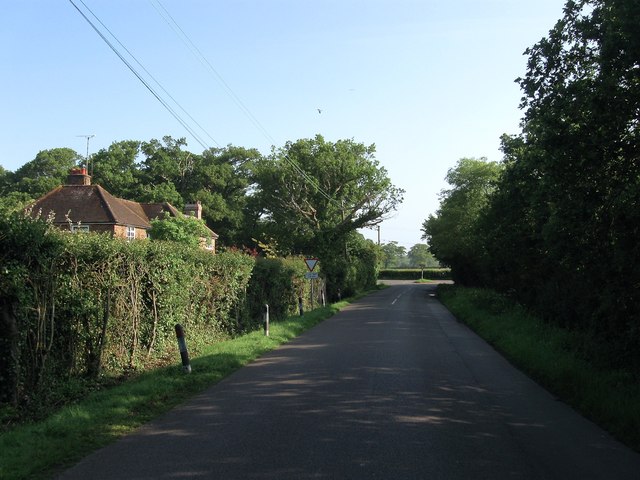
Image: © Simon Carey Taken: 31 May 2014
Built between the wars and located opposite High Cross House near to the junction with Henfield Road. To the south is Image
Images are licensed for reuse under creativecommons.org/licenses/by-sa/2.0
Image Location
Latitude
50.942081
Longitude
-0.224175