B6270, Reeth
Introduction
The photograph on this page of B6270, Reeth by Chris Heaton as part of the Geograph project.
The Geograph project started in 2005 with the aim of publishing, organising and preserving representative images for every square kilometre of Great Britain, Ireland and the Isle of Man.

There are currently over 7.5m images from over 14,400 individuals and you can help contribute to the project by visiting https://www.geograph.org.uk
B6270, Reeth
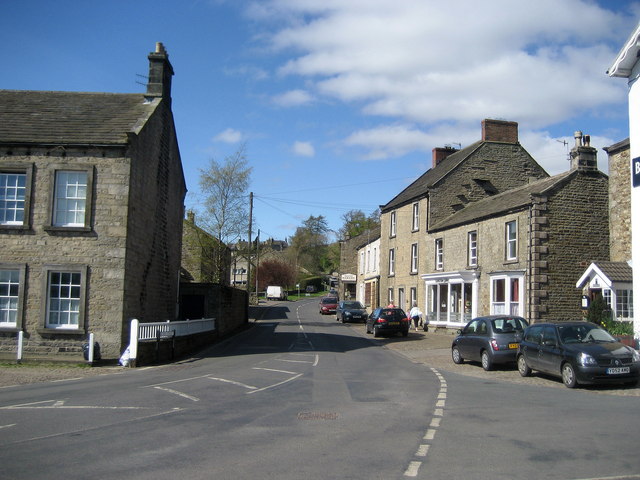
Image: © Chris Heaton Taken: 11 Apr 2007
Looking west along the B6270 heading out of Reeth. This route takes travellers up Swaledale towards Low Row, Muker and Keld
Images are licensed for reuse under creativecommons.org/licenses/by-sa/2.0
Image Location
Latitude
54.38971
Longitude
-1.943913