Footpath to Alkham
Introduction
The photograph on this page of Footpath to Alkham by Adam Hincks as part of the Geograph project.
The Geograph project started in 2005 with the aim of publishing, organising and preserving representative images for every square kilometre of Great Britain, Ireland and the Isle of Man.

There are currently over 7.5m images from over 14,400 individuals and you can help contribute to the project by visiting https://www.geograph.org.uk
Footpath to Alkham
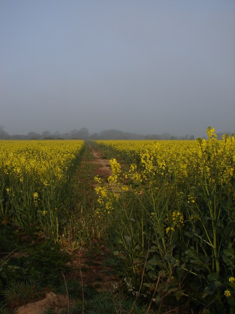
Image: © Adam Hincks Taken: 14 Apr 2007
Public right of way from Alkham to St Radigund's Abbey through the oilseed rape, across the Kent Downs. Further down along this path you will find a Denehole.
Images are licensed for reuse under creativecommons.org/licenses/by-sa/2.0
Image Location
Latitude
51.13211
Longitude
1.232411