Country Road, west of Great Smeaton
Introduction
The photograph on this page of Country Road, west of Great Smeaton by Frank Glover as part of the Geograph project.
The Geograph project started in 2005 with the aim of publishing, organising and preserving representative images for every square kilometre of Great Britain, Ireland and the Isle of Man.

There are currently over 7.5m images from over 14,400 individuals and you can help contribute to the project by visiting https://www.geograph.org.uk
Country Road, west of Great Smeaton
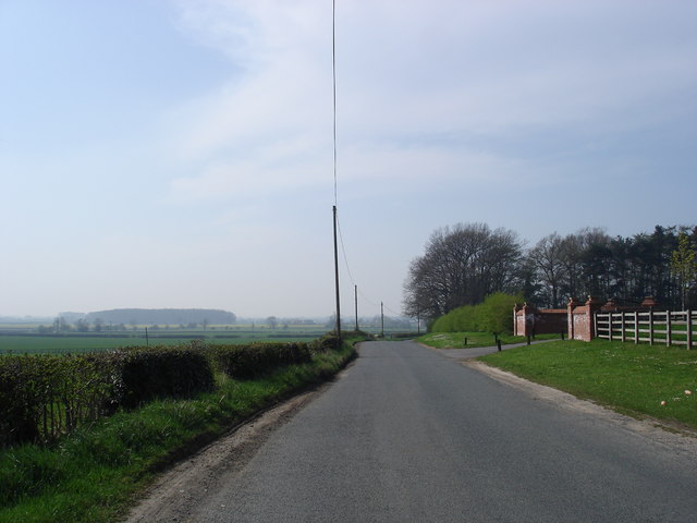
Image: © Frank Glover Taken: 14 Apr 2007
This is the country road that runs between Great Smeaton and East Cowton, taken looking west, by the entrance to The Manor.
Images are licensed for reuse under creativecommons.org/licenses/by-sa/2.0
Image Location
Latitude
54.434563
Longitude
-1.487993