Canal Path
Introduction
The photograph on this page of Canal Path by Gordon Griffiths as part of the Geograph project.
The Geograph project started in 2005 with the aim of publishing, organising and preserving representative images for every square kilometre of Great Britain, Ireland and the Isle of Man.

There are currently over 7.5m images from over 14,400 individuals and you can help contribute to the project by visiting https://www.geograph.org.uk
Canal Path
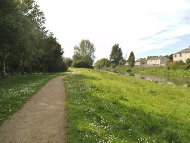
Image: © Gordon Griffiths Taken: 25 May 2014
The view near Loxdale Sidings in Bilston along the Bradley Leg Canal.
Images are licensed for reuse under creativecommons.org/licenses/by-sa/2.0
Image Location
Latitude
52.556151
Longitude
-2.065297