Site of Central Avenue turning circle, Mapperley
Introduction
The photograph on this page of Site of Central Avenue turning circle, Mapperley by Richard Vince as part of the Geograph project.
The Geograph project started in 2005 with the aim of publishing, organising and preserving representative images for every square kilometre of Great Britain, Ireland and the Isle of Man.

There are currently over 7.5m images from over 14,400 individuals and you can help contribute to the project by visiting https://www.geograph.org.uk
Site of Central Avenue turning circle, Mapperley
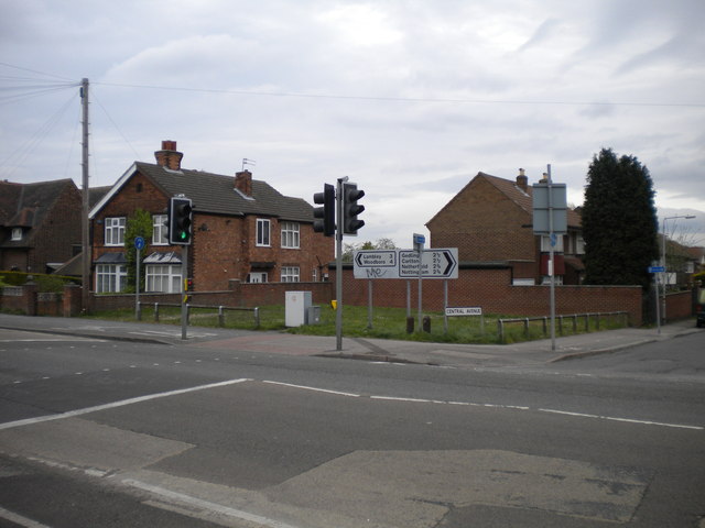
Image: © Richard Vince Taken: 17 Apr 2014
On Plains Road opposite the top of Somersby Road. In the 1970s, half of Nottingham City Transport's Mapperley service terminated here, with the other half running to and from Gedling via Westdale Lane. By the mid 1990s, NCT's remaining buses to this part of Mapperley had been extended along Somersby Road (behind the camera) towards Arno Vale, Plains Estate, and Arnold. Some years ago, the turning circle was turned into the present small patch of grass.
Images are licensed for reuse under creativecommons.org/licenses/by-sa/2.0
Image Location
Latitude
52.988152
Longitude
-1.115257