Thursby Mill
Introduction
The photograph on this page of Thursby Mill by Matthew Hatton as part of the Geograph project.
The Geograph project started in 2005 with the aim of publishing, organising and preserving representative images for every square kilometre of Great Britain, Ireland and the Isle of Man.

There are currently over 7.5m images from over 14,400 individuals and you can help contribute to the project by visiting https://www.geograph.org.uk
Thursby Mill
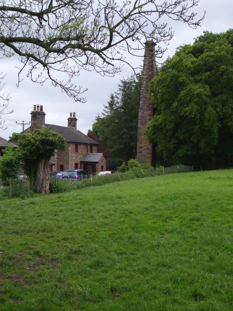
Image: © Matthew Hatton Taken: 24 May 2014
An early casualty of the industrial revolution. Shown as a corn mill in 1868, it had changed into Park View House by 1900.
Images are licensed for reuse under creativecommons.org/licenses/by-sa/2.0
Image Location
Latitude
54.834392
Longitude
-3.054109