Aikton Church & Graveyard
Introduction
The photograph on this page of Aikton Church & Graveyard by Matthew Hatton as part of the Geograph project.
The Geograph project started in 2005 with the aim of publishing, organising and preserving representative images for every square kilometre of Great Britain, Ireland and the Isle of Man.

There are currently over 7.5m images from over 14,400 individuals and you can help contribute to the project by visiting https://www.geograph.org.uk
Aikton Church & Graveyard
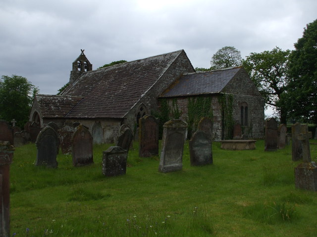
Image: © Matthew Hatton Taken: 24 May 2014
A narrow Norman church with later additions c.1869. Aikton village is a mile away.
Images are licensed for reuse under creativecommons.org/licenses/by-sa/2.0
Image Location
Latitude
54.865261
Longitude
-3.11942