Burnt heart
Introduction
The photograph on this page of Burnt heart by Neil Owen as part of the Geograph project.
The Geograph project started in 2005 with the aim of publishing, organising and preserving representative images for every square kilometre of Great Britain, Ireland and the Isle of Man.

There are currently over 7.5m images from over 14,400 individuals and you can help contribute to the project by visiting https://www.geograph.org.uk
Burnt heart
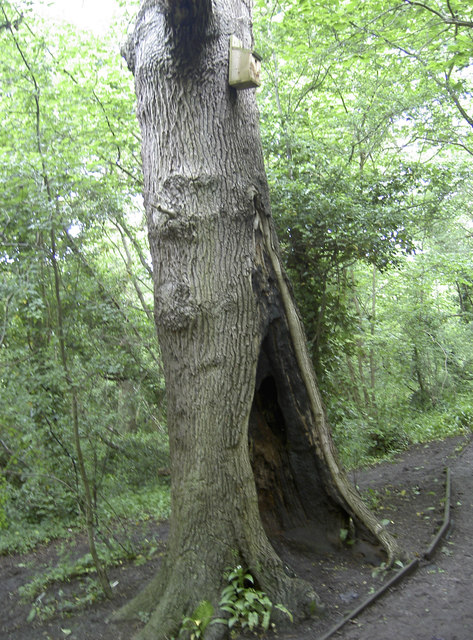
Image: © Neil Owen Taken: 31 May 2014
Several of the trees in this valley have been subject to burning, fashioning a hollow. Hopefully the bird box was not occupied at the time.
Images are licensed for reuse under creativecommons.org/licenses/by-sa/2.0
Image Location
Latitude
51.419293
Longitude
-2.615882