Church & grave yard at Holme St Cuthbert
Introduction
The photograph on this page of Church & grave yard at Holme St Cuthbert by Matthew Hatton as part of the Geograph project.
The Geograph project started in 2005 with the aim of publishing, organising and preserving representative images for every square kilometre of Great Britain, Ireland and the Isle of Man.

There are currently over 7.5m images from over 14,400 individuals and you can help contribute to the project by visiting https://www.geograph.org.uk
Church & grave yard at Holme St Cuthbert
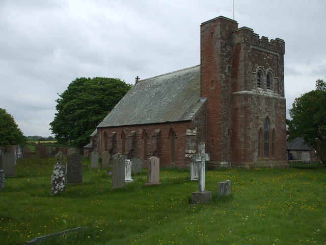
Image: © Matthew Hatton Taken: 24 May 2014
The church is by William Armstrong and dates from 1845. The low west tower with its square stair turret is of 1924. The church is in the parish of Mawbray, which has already lost two earlier churches to the advances of the Irish Sea.
Images are licensed for reuse under creativecommons.org/licenses/by-sa/2.0
Image Location
Latitude
54.810912
Longitude
-3.394891