Buttressed Barn at Whinbank
Introduction
The photograph on this page of Buttressed Barn at Whinbank by Matthew Hatton as part of the Geograph project.
The Geograph project started in 2005 with the aim of publishing, organising and preserving representative images for every square kilometre of Great Britain, Ireland and the Isle of Man.

There are currently over 7.5m images from over 14,400 individuals and you can help contribute to the project by visiting https://www.geograph.org.uk
Buttressed Barn at Whinbank
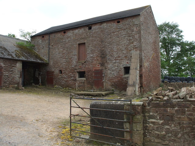
Image: © Matthew Hatton Taken: 24 May 2014
Built out of locally quarried red sandstone, this barn was built c.1842 and it is constructed on two levels, with a hayloft above the animal byres.
Images are licensed for reuse under creativecommons.org/licenses/by-sa/2.0
Image Location
Latitude
54.797092
Longitude
-3.337172