Former Swansea Workhouse administrative block
Introduction
The photograph on this page of Former Swansea Workhouse administrative block by Jaggery as part of the Geograph project.
The Geograph project started in 2005 with the aim of publishing, organising and preserving representative images for every square kilometre of Great Britain, Ireland and the Isle of Man.

There are currently over 7.5m images from over 14,400 individuals and you can help contribute to the project by visiting https://www.geograph.org.uk
Former Swansea Workhouse administrative block
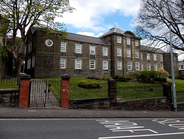
Image: © Jaggery Taken: 27 Apr 2014
Viewed across Terrace Road. Originally part of Swansea Workhouse, which was later known as Tawe Lodge, and then Mount Pleasant Hospital. After the hospital's closure in 1995, the site was used for student accommodation. In 2000 the site was redeveloped. Some of the old buildings were preserved and converted to residential use, as here.
Images are licensed for reuse under creativecommons.org/licenses/by-sa/2.0
Image Location
Latitude
51.624814
Longitude
-3.950634