The Plough, Cock Marling
Introduction
The photograph on this page of The Plough, Cock Marling by Simon Carey as part of the Geograph project.
The Geograph project started in 2005 with the aim of publishing, organising and preserving representative images for every square kilometre of Great Britain, Ireland and the Isle of Man.

There are currently over 7.5m images from over 14,400 individuals and you can help contribute to the project by visiting https://www.geograph.org.uk
The Plough, Cock Marling
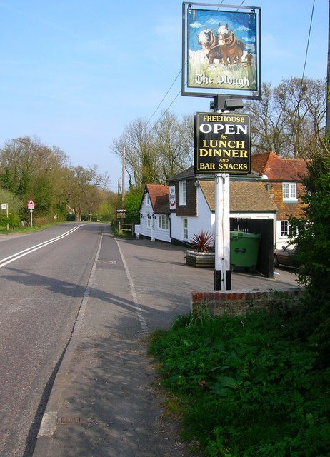
Image: © Simon Carey Taken: 13 Apr 2007
Small hamlet on the B2089 Rye-Broad Oak road consisting of this inn and a few houses. Cock Marling lies on the ridge that separates the Tillingham and Brede river valleys.
Images are licensed for reuse under creativecommons.org/licenses/by-sa/2.0
Image Location


Leaflet Map data © OpenStreetMap
Latitude
50.937791
Longitude
0.679378