University Farm, West Heath
Introduction
The photograph on this page of University Farm, West Heath by Robin Stott as part of the Geograph project.
The Geograph project started in 2005 with the aim of publishing, organising and preserving representative images for every square kilometre of Great Britain, Ireland and the Isle of Man.

There are currently over 7.5m images from over 14,400 individuals and you can help contribute to the project by visiting https://www.geograph.org.uk
University Farm, West Heath
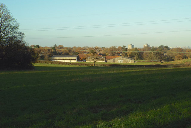
Image: © Robin Stott Taken: 30 Nov 2013
On the left is the edge of the clump of trees seen in http://www.geograph.org.uk/photo/154557 The view is from the North Worcestershire Path west of Wast Hill, looking north towards the southern suburbs of Birmingham. The blocks of flats are at Green Lane, Hawkesley B38, Image On the left is Campion House, with Saffron House to its right.
Images are licensed for reuse under creativecommons.org/licenses/by-sa/2.0
Image Location
Latitude
52.388583
Longitude
-1.943091