Darvel Down
Introduction
The photograph on this page of Darvel Down by Robin Webster as part of the Geograph project.
The Geograph project started in 2005 with the aim of publishing, organising and preserving representative images for every square kilometre of Great Britain, Ireland and the Isle of Man.

There are currently over 7.5m images from over 14,400 individuals and you can help contribute to the project by visiting https://www.geograph.org.uk
Darvel Down
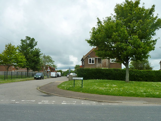
Image: © Robin Webster Taken: 29 May 2014
A small estate where probably most of Netherfield lives. Possibly originally built for Mountfield gypsum mine - there is a now disused apparently private footway connecting the settlement with the old mine area.
Images are licensed for reuse under creativecommons.org/licenses/by-sa/2.0
Image Location


Leaflet Map data © OpenStreetMap
Latitude
50.942459
Longitude
0.433362